Blog Post
Water Tables and Basements
This collection of early maps of Brattleboro, Vermont is like a lot of historic maps: chock full of land development details over the years. For more information, check out www.old-maps.com.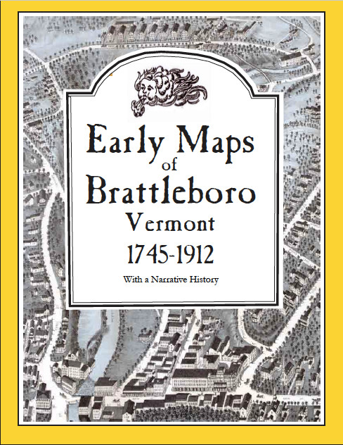
It turns out our home, right in the middle of a steep, shaley, ledgey, slope, must have been built on a ton of free-draining fill, making our basement dry and that rod a piece of cake to drive nearly 12 feet into the ground.
But for both new construction and existing homes, isn’t there a better way to figure out just what soil, rock, and water challenges your site will pose? Actually, there are three great online resources and a couple of others that take just about all the chance and guesswork out of determining site conditions.
Web Soil Survey
Being originally trained as an agronomist, I first went to our Vermont soil specialist, Thomas Villars. He sent me a Word document, “How Get Site-Specific Information on the Representative Depth to the Shallow Water Table for Soils In Vermont Using the NRCS Web Soil Survey.”
There are several different ways to use the NRCS Web Soil Survey, but it’s pretty easy to use the “Area of Interest” (AOI) tab to get you zeroed in on a crystal clear aerial map, and then click the Soil Map tab to get the soil type overlay on the aerial map. Under the Soil Data Explorer tab is a sub-tab “Soil Properties and Qualities,” and then another sub-tab called “Water Features,” giving you “Depth to Water Table” for each soil type in your area of interest.
SUPPORT INDEPENDENT SUSTAINABILITY REPORTING
BuildingGreen relies on our premium members, not on advertisers. Help make our work possible.
See membership options »USGS Groundwater Watch
The U.S. Geological Survey has several databases related to ground water. For builders and remodelers, the most useful of these resources are probably the Active Groundwater Level Network and the Long-term Groundwater Data Network. Each is fed by records from over 850,000 wells drilled over the last 100 years. The data are pretty thin for Vermont and probably for other sparsely populated areas around the country, but there's tons of data for many highly populated regions of the U.S.
Local historical societies and the Library of Congress
The Library of Congress Chronicling America database allows you to explore digitized local newspapers by dates, locations, names of publications.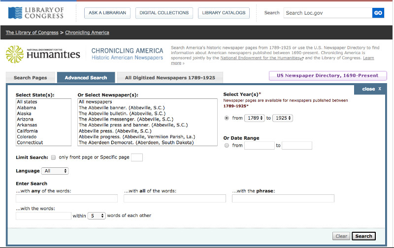
A depth-to-water check list includes the N.R.C.S. web soil survey and U.S.G.S. water table information.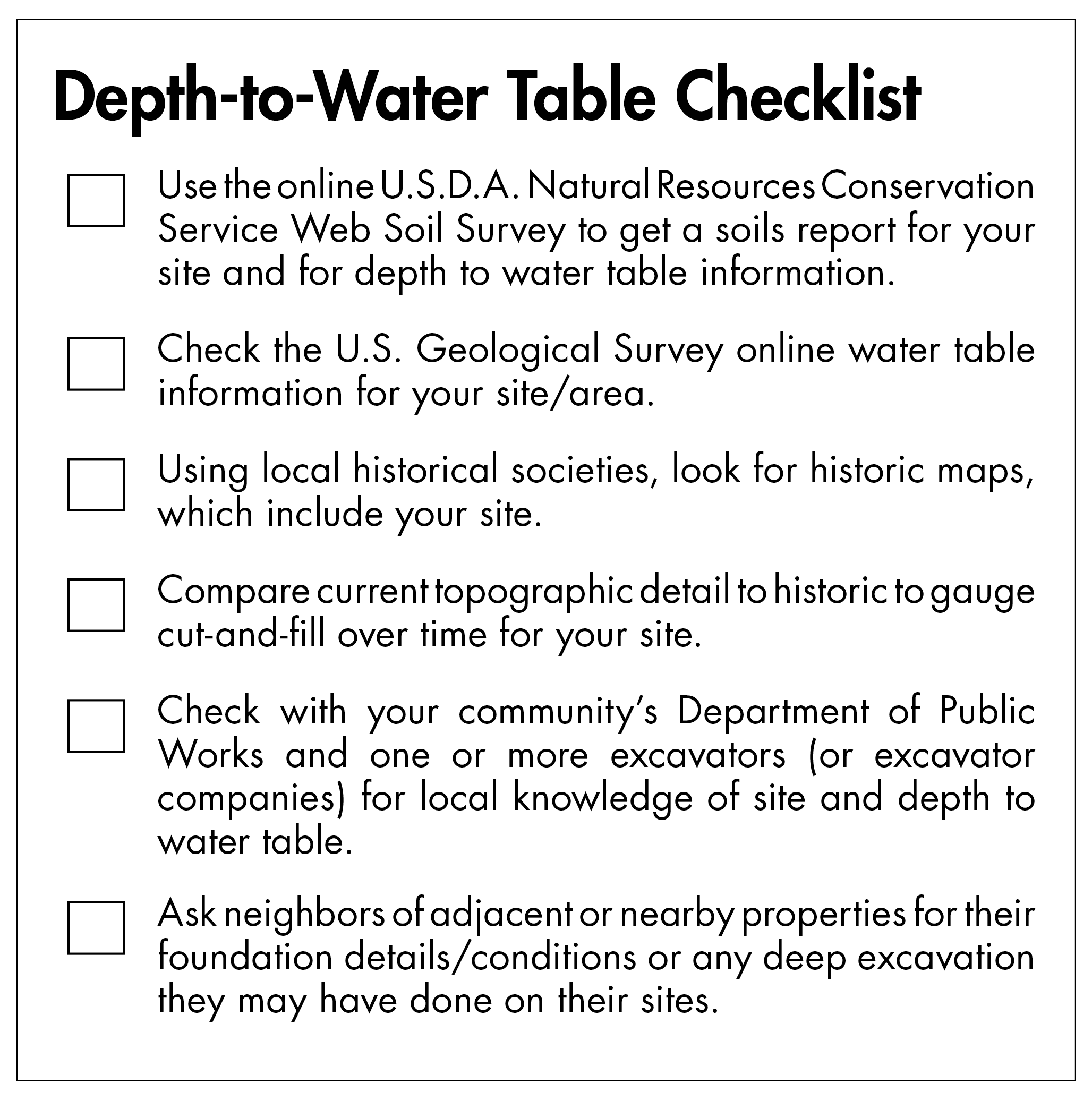
Two resources that are likely to have the deepest local knowledge are the head of your Department of Public Works and local excavators. They have years of experience digging around and knowledge of local water tables.
Finally, here is a checklist to use to determine depth-to-water table on your sites.
Published November 30, 2017 Permalink Citation
Yost, P. (2017, November 30). Water Tables and Basements. Retrieved from https://www.buildinggreen.com/blog/water-tables-and-basements
Add new comment
To post a comment, you need to register for a BuildingGreen Basic membership (free) or login to your existing profile.